 Out of stock
Map 1 – Master Map
$0.50Maine. The master map shows the relative size and position of each of the other maps on the southern part of Maine.
Unfolded, maps are 11.25″ x 19.375″

If you don’t have a bike or need yours repaired, check with your local shop. Some are offering curbside drop-off and pickup for mechanical services, and even home delivery of new bikes—what service! These maps are color-coded for mountain biking, but they’re also good for exploring on foot.
Be sure to check the website or Facebook pages for the park or preserve you’re planning to visit. There may be restrictions due to the coronavirus or poor trail conditions. If not, with these maps you’ll be ready for some fun, fresh air, and exercise—a few things that will help us stay in good health!
Maps are no longer available for purchase here, but you can select any map to see details.
Maps are up to date as of 2019.
New trails have been built since then, but 95% of the maps haven’t changed.
Showing 1–16 of 21 resultsSorted by latest
Out of stock
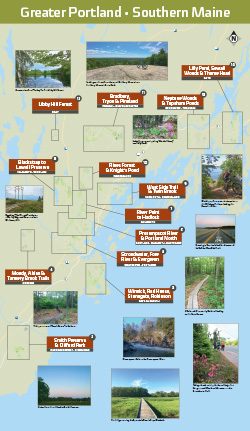
Maine. The master map shows the relative size and position of each of the other maps on the southern part of Maine.
Unfolded, maps are 11.25″ x 19.375″

 Out of stock
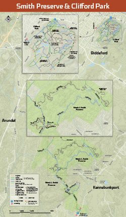
Kennebunkport, Biddeford. Includes trails in: Smith Preserve and Clifford Park.
Also includes a local-area map with post-ride watering holes, local bike shops, and where to find things like gas, cash, sandwiches, and ice cream.
Unfolded, maps are 11.25″ x 19.375″
 Out of stock
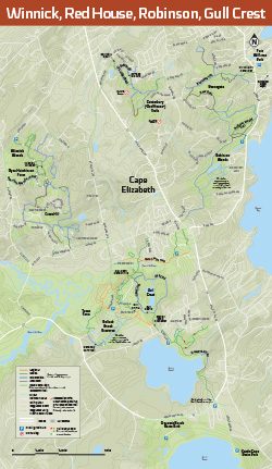
Cape Elizabeth. Includes trails in: Winnick Woods, Canterbury (“Red House”) Trails, Stonegate, Robinson Woods, Gull Crest, Cross Hill, Town Farm, Pollack Brook Preserve.
Also includes a local-area map with post-ride watering holes, local bike shops, and where to find things like gas, cash, sandwiches, and ice cream.
Unfolded, maps are 11.25″ x 19.375″
 Out of stock
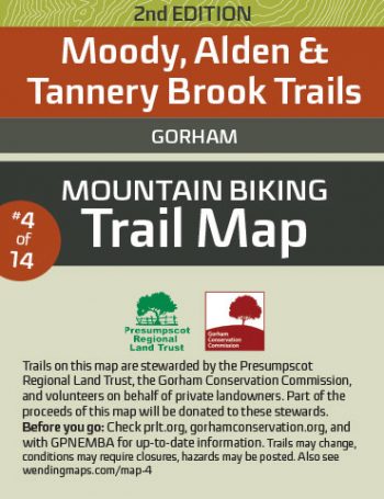
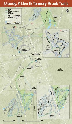
Kennebunkport, Biddeford.
Includes trails in: The Weeks Parcel, Frazier Preserve, Tannery Brook and trails on private land.
Also includes a local-area map with post-ride watering holes, local bike shops, and where to find things like gas, cash, sandwiches, and ice cream.
Unfolded, maps are 11.25″ x 19.375″
 Out of stock
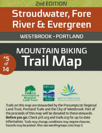
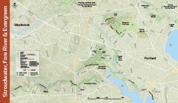
Westbrook, Portland.
Includes trails in: Fore River Sanctuary, Capisic Pond Park, Fore River Trail, Evergreen Cemetery, Baxter Woods, University Park, Canco Woods, and Stroudwater Trail.
Also includes a local-area map with post-ride watering holes, local bike shops, and where to find things like gas, cash, sandwiches, and ice cream.
Unfolded, maps are 11.25″ x 19.375″
 Out of stock
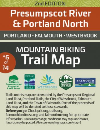
Portland, Falmouth, Westbrook.
Includes trails in: Presumpscot River Preserve, Riverton Trolley Park, University Park, Virginia Woods, Ocean Ave Recreation Area, and Oat Nuts Park.
Also includes a local-area map with post-ride watering holes, local bike shops, and where to find things like gas, cash, sandwiches, and ice cream.
Unfolded, maps are 11.25″ x 19.375″
 Out of stock
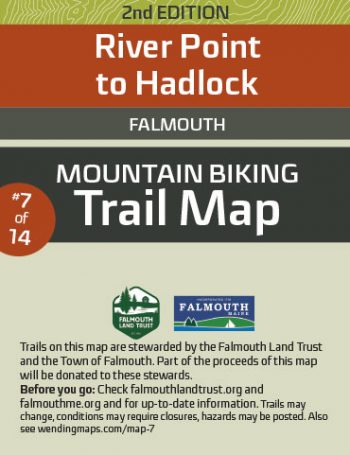
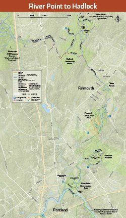
Falmouth.
Includes trails in: River Point Conservation Area, McCrann Preserve, Falmouth Community Park, Falmouth Town Forest, and Hadlock Community Forest.
Also includes a local-area map with post-ride watering holes, local bike shops, and where to find things like gas, cash, sandwiches, and ice cream.
Unfolded, maps are 11.25″ x 19.375″
 Out of stock
OUT OF STOCK ONLINE – AVAILABLE IN STORES
Falmouth.
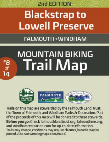
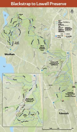
Includes trails in: Blackstrap Hill Community Forest and Preserve, North Falmouth Community Forest, and Lowell Preserve.
Also includes a local-area map with post-ride watering holes, local bike shops, and where to find things like gas, cash, sandwiches, and ice cream.
Unfolded, maps are 11.25″ x 19.375″
 Out of stock
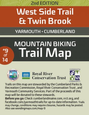
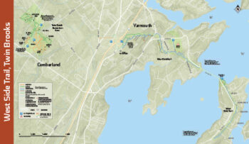
Yarmouth, Cumberland.
Includes trails: West Side Trail and Twin Brook Recreation Area.
Also includes a local-area map with post-ride watering holes, local bike shops, and where to find things like gas, cash, sandwiches, and ice cream.
Unfolded, maps are 11.25″ x 19.375″
 Out of stock
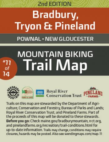
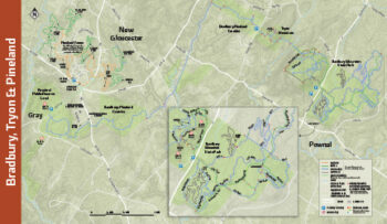
Pownal, New Gloucester.
Includes trails in: Bradbury Mountain State Park, Tryon Mountain, Bradbury-Pineland Connector, Pineland Public Reserve Lands, and Pineland Farms.
Also includes a local-area map with post-ride watering holes, local bike shops, and where to find things like gas, cash, sandwiches, and ice cream.
Unfolded, maps are 11.25″ x 19.375″
 Out of stock
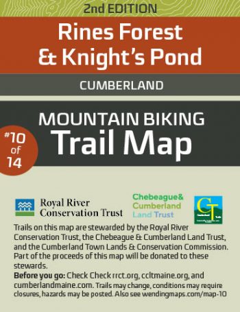
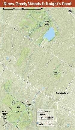
Cumberland.
Includes trails in: Rines Forest, Greely Woods, and Knight’s Pond Preserve.
Also includes a local-area map with post-ride watering holes, local bike shops, and where to find things like gas, cash, sandwiches, and ice cream.
Unfolded, maps are 11.25″ x 19.375″
 Out of stock
Gray.
Includes trails in Libby Hill Forest.
Also includes a local-area map with post-ride watering holes, local bike shops, and where to find things like gas, cash, sandwiches, and ice cream.
Unfolded, maps are 11.25″ x 19.375″
 Out of stock
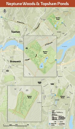
Brunswick, Topsham.
Includes trails in: Neptune Woods and Topsham Ponds.
Also includes a local-area map with post-ride watering holes, local bike shops, and where to find things like gas, cash, sandwiches, and ice cream.
Unfolded, maps are 11.25″ x 19.375″

 Out of stock
Bath.
Lilly Pond Community Forest, Whiskeag Trail, Sewall Woods, and Thorne Head Preserve.
Also includes a local-area map with post-ride watering holes, local bike shops, and where to find things like gas, cash, sandwiches, and ice cream.
Unfolded, maps are 11.25″ x 19.375″


Because this product is printed on demand just for you, there are NO RETURNS OR EXCHANGES. Please be sure to check the size chart carefully.


Because this product is printed on demand just for you, there are NO RETURNS OR EXCHANGES. Please be sure to check the size chart carefully.